

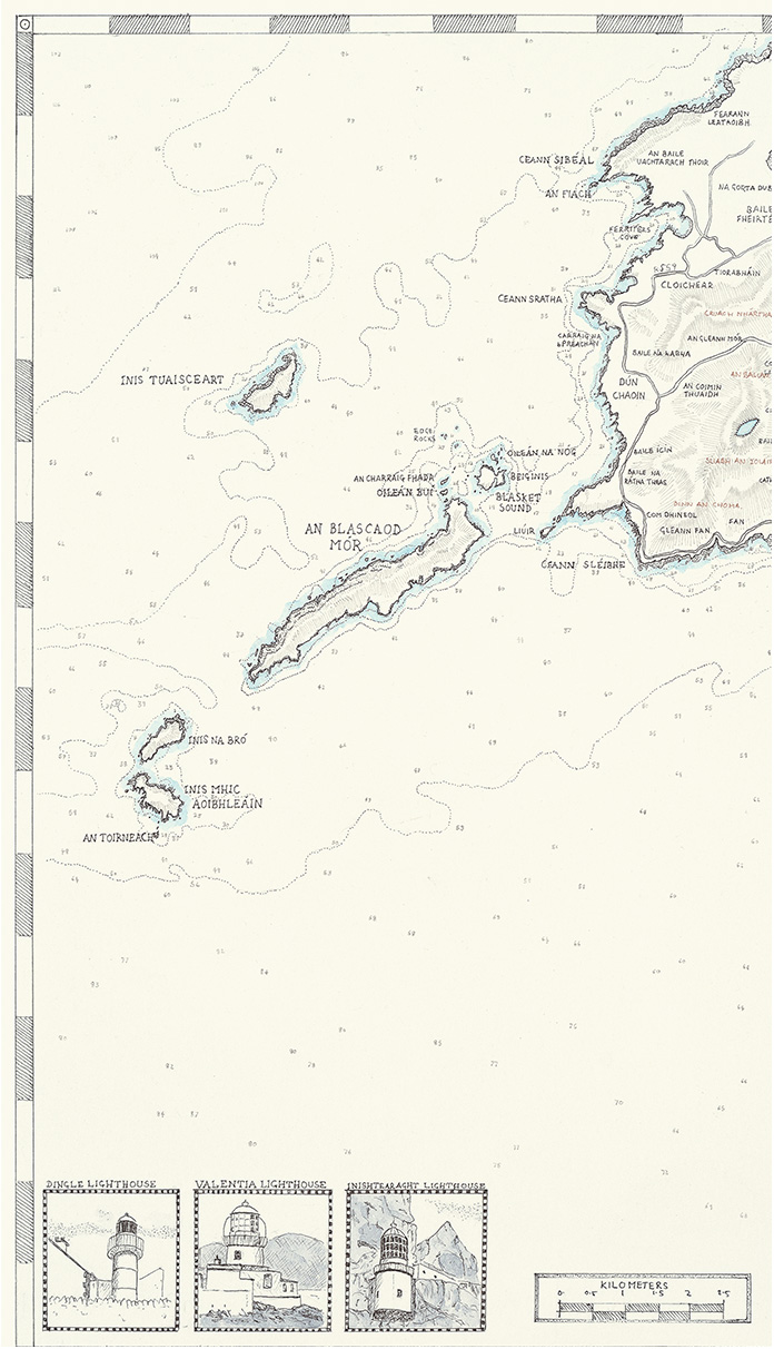
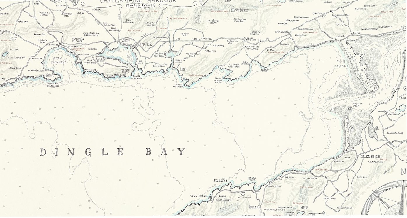
A vintage style map of Dingle bay including the Blasket Islands.
Dingle Bay Map, from the Blasket Islands to Inch Beach
€35.00
Description
This is a Map of Dingle Bay, hand drawn in pen and ink in a very detailed vintage cartography style. I used old admiralty charts as general reference for the depths and tide lines and then merged them with an older style of land map using more up to date road plans. The Gaelteacht (Native Irish Speaking ) areas and townlands are marked in Irish with the exception of Dingle itself. The Blasket Islands are included and the 3 lighthouses in the area are illustrated in the lower left corner. It is 35.5 cm high by 50.2 cm wide. This item comes unframed. There is a generous margin on the sheet so it could be cut for framing. It is on a 220grm archival paper and ships by registered post in a sturdy, recyclable postal tube.
Reviews
There are no reviews yet.